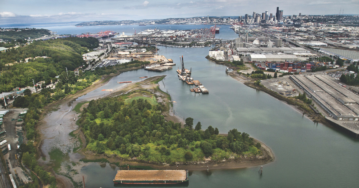
 The Duwamish River.
 Ready to explore all the City-funded projects and programs happening in South Park and Georgetown? Check out our newly released Duwamish Valley Program Map!
Community organizations and City departments are doing amazing work in the region. Together, we’ve built sidewalks and bike lanes, planted trees, added flood prevention infrastructure, and much more.
One highlight is a new 1.2-mile path for walking and rolling. It includes 143 street trees and connects neighbors and visitors to the recently completed South Park Plaza, which offers a vibrant space for local markets and festivals.
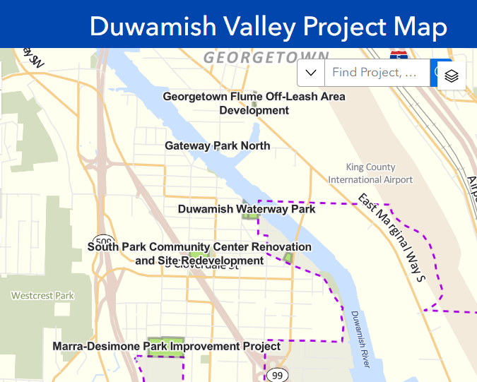
The map was created after community members and organizations asked for a central place to see more than 60 City-funded completed, in-progress, and future projects in the Duwamish Valley. We will compile updates from more than 60 projects, programs, and planning efforts across 18 City departments, updating the map annually.
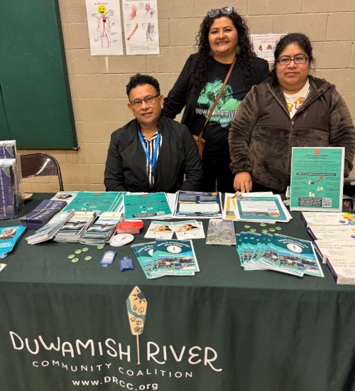
“The Duwamish Valley Program Map responds directly to a long-standing community request for accessible, place-based information about the neighborhood,” said Paulina Lopez, executive director of the Duwamish River Community Coalition (DRCC).
The map also includes youth development and other community programs. Seattle provides support to local organizations offering these programs, including DRCC’s Duwamish Valley Youth Corps program, which teaches environmental justice and job skills.
“By bringing critical data together in one easy-to-use tool, it empowers communities, organizations, and decision-makers to better understand local conditions and advocate for equitable investment that supports informed action, collaboration, and accountability,” she continued.
How to Find Parks, Flood Prevention, and More
Since 2018, the Duwamish Valley Program, led by our team at OSE, has been working across City departments to coordinate and implement the Duwamish Valley Action Plan developed with community.
The map is organized by the priority areas in the plan:
- Healthy environment
- Parks and open space
- Economic opportunity
- Mobility and transportation
- Community capacity
- Public safety
- Affordable housing
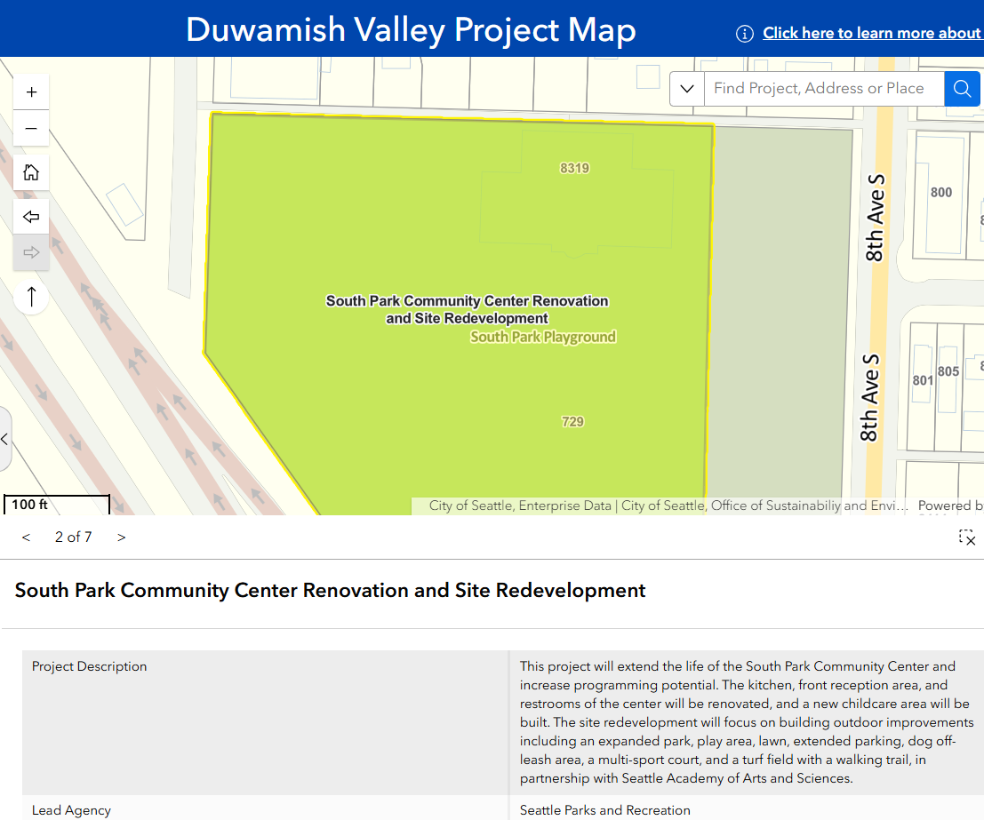
If you’re interested in seeing new parks, green spaces, and tree planting efforts, select “Parks and Open Space” on the map. Check out the newly renovated South Park Playfield and Community Center, where dozens of trees and native plants were planted earlier this year.
We’re getting ready to join Seattle Parks and Recreation for an exciting reopening celebration at the South Park Playfield and Community Center this year! The playfield is currently open and available for reservations.
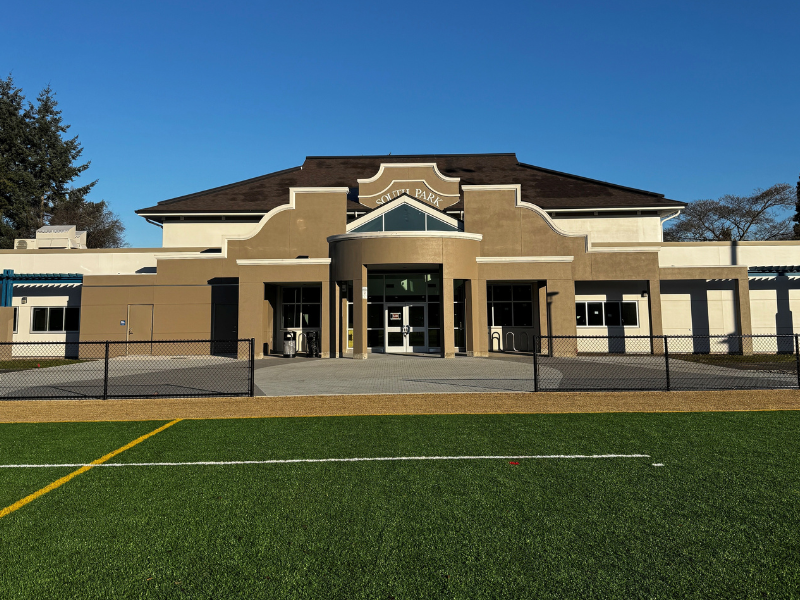
The City temporarily relocated community center programming to the nearby Concord International Elementary School for several years while the center received much-needed upgrades to operate safely and serve community needs in the long term. The project includes a renovated kitchen, reception, and restrooms, as well as a new childcare area.
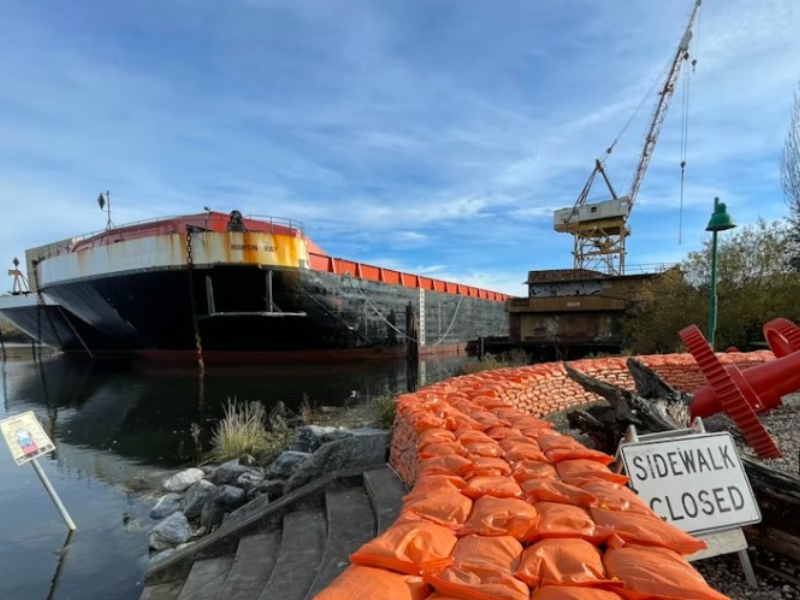
The “Healthy Environment” view of the map includes projects like the South Park Wet Weather Preparedness and Response, a large sandbag flood wall maintained by Seattle Public Utilities (SPU). Thanks to the team at SPU for supporting the creation of this map!
And many thanks to our colleagues at the City of Seattle Information Technology Department on the Geographic Information System (GIS) team, who worked with us for nearly two years to bring this map to life.
We’re so appreciative of the dozens of partners dedicated to building a thriving region! Duwamish Valley neighborhoods are historically underserved and face a legacy of pollution from nearby highways and industrial work. Together, we’re working to improve climate readiness and affordability, create well-paying job opportunities, and build a healthy environment for community members.